
How Sentinel-1 measured movement of Venezuela quakes
More than one month on from the catastrophic twin earthquakes in northern Venezuela on 24 June 2026, satellite data show the ground displacement was greater than first estimated.
Key points
- Focus: More than one month on from the catastrophic twin earthquakes in northern Venezuela on 24 June 2026, satellite data show the ground displacement was
- Detail: Institutional origin: separate announcement from evidence
- Editorial reading: institutional release, useful as a primary source but not independent validation.
More than one month on from the catastrophic twin earthquakes in northern Venezuela on 24 June 2026, satellite data show the ground displacement was greater than first estimated. The institutional report frames the development in practical terms and ties it to the broader mission or observing effort.
It is relevant because Earth science becomes stronger when local observations can be placed inside a broader physical pattern that spans time and geography. The planet operates as a coupled system in which atmospheric, oceanic, cryospheric and solid-Earth processes interact across timescales from days to millions of years. A measurement that captures one variable at one location and one moment has limited interpretive value until it is embedded in the longer series and wider spatial coverage that allow natural variability to be separated from forced change. The measurements taken on the 24 and 25 June were compared with the previous measurements from 18 June, to ascertain differences in ground level following the earthquakes. An upwards displacement of 65 cm around Caracas was measured by the mission's radar instruments.
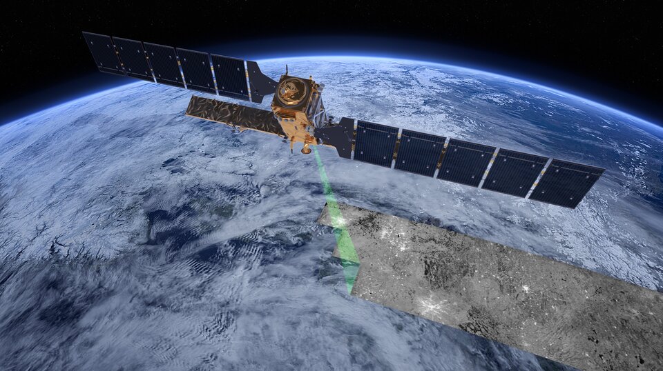
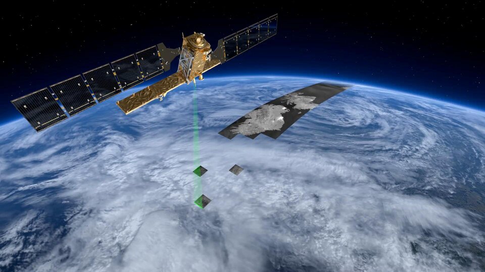
This uses measurements taken before and after the displacement event, captured by missions carrying advanced radar instruments, such as the C-band synthetic aperture radar (SAR). These are directed towards the ground at a diagonal angle (rather than vertically), hitting the ground to the side of the satellite’s orbital path over Earth.
The measurements taken on 24 and 25 June, compared with measurements on 18 June, show an upwards displacement of 65 cm around Caracas, La Guaira and Caraballeda, with some. The preliminary data from Sentinel-1 released five days after the earthquakes indicated ground displacement of the order of 30 cm.
ESA’s Mission Manager for Sentinel-1, Nuno Miranda, noted: “Earth observation satellites equipped with radar provide insightful and rapid information in the wake of natural. With the epicentre west of Caracas, severe damage was reported in the areas of Greater Caracas and La Guaira, approximately 30 km north of the capital.
The broader interest lies in linking the observation to climatic, geophysical or environmental dynamics that extend well beyond the immediate event or location. Earth science is unusual in that its most important questions operate on timescales that no single research career can observe directly, making the archival record, whether in ice, sediment, rock or satellite data, as important as any new measurement. Results that can be embedded in that record, and that either confirm or challenge the patterns it reveals, carry disproportionate scientific weight.
The Copernicus EMS report on the disaster found that more than 3000 buildings in the area were damaged and more than 2.7 million people were potentially in the affected areas. The earthquakes in Venezuela on 24 June were caused by a shallow slip-strike movement in the tectonic plates that push against each other under the sea off the coast of Venezuela.
Because the account originates with ESA Space News, it functions best as a primary institutional report that is close to the data and operations, not as independent scientific validation. Institutional communications are produced by organizations with legitimate interests in presenting their work in a favorable light, which does not make them unreliable but does make them partial. Details that complicate the narrative, including instrument limitations, unexpected failures and results below projections, tend to be minimized relative to progress messages. Technical documentation and peer-reviewed publications, where they exist, provide the complementary layer that institutional releases cannot substitute.
The next step is to place the result inside longer time series and to compare it with independent instruments and independent sites. Earth system observations gain most of their interpretive power from network density and temporal depth, not from any single measurement however precise. Model simulations that assimilate the new data will help clarify whether the observation fits comfortably within known natural variability or represents a shift that existing models do not reproduce.

Original source: ESA Space News