Quality Assessment Report Evaluates Tomorrow. io Precipitation Radar Data
The report adds to the growing documentation on commercial data’s contributions to Earth science research and applications.
Key points
- Focus: The report adds to the growing documentation on commercial data’s contributions to Earth science research and applications
- Detail: separate announcement from evidence
- Editorial reading: institutional release, useful as a primary source but not independent validation.
The report adds to the growing documentation on commercial data’s contributions to Earth science research and applications. The institutional report frames the development in practical terms and ties it to the broader mission or observing effort.
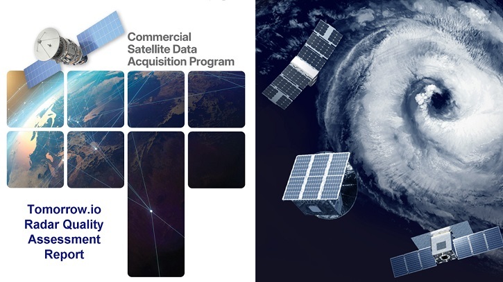
This matters because Earth science becomes stronger when local observations can be placed inside a broader physical pattern that spans time and geography. The planet operates as a coupled system in which atmospheric, oceanic, cryospheric and solid-Earth processes interact across timescales from days to millions of years. A measurement that captures one variable at one location and one moment has limited interpretive value until it is embedded in the longer series and wider spatial coverage that allow natural variability to be separated from forced change. When NASA’s own subject matter experts validate that a commercially built space-based radar system can contribute meaningfully alongside programs like NASA’s Global Precipitation. NASA/CSDA A new quality assessment report from NASA’s Commercial Satellite Data Acquisition (CSDA) program approves the use of precipitation radar data from Tomorrow.
Issued March 9, 2026, the Commercial Satellite Data Acquisition Program Tomorrow. io Radar Quality Assessment Report documents the evaluation process of the NASA subject matter. The SMEs assessed the company’s Level 2 Precipitation products and geolocation accuracy and their results were generally in agreement with the analysis provided by Tomorrow.
The geolocation assessment showed “excellent correlation” of 0.98 with a digital elevation model (DEM) reference. In addition, comparisons to ground radar were in good agreement for both radars, with correlations to ground radar of 0.73 and 0.93.
(R2 showed slightly higher accuracy than R1, with biases of –22% (R1) and –6% (R2)). Based on these results, the SMEs concluded that Tomorrow. io precipitation radar data be considered for NASA scientific use, contingent upon alignment with science objectives and.
The broader interest lies in linking the observation to climatic, geophysical or environmental dynamics that extend well beyond the immediate event or location. Earth science is unusual in that its most important questions operate on timescales that no single research career can observe directly, making the archival record, whether in ice, sediment, rock or satellite data, as important as any new measurement. Results that can be embedded in that record, and that either confirm or challenge the patterns it reveals, carry disproportionate scientific weight.
When NASA's own subject matter experts validate that a commercially built space-based radar system can contribute meaningfully alongside programs like NASA’s Global Precipitation. We built these instruments to demonstrate that the commercial sector can deliver science-quality data from space, and we're proud that NASA's assessment supports that vision.
Because the account originates with NASA News Releases, it functions best as a primary institutional report that is close to the data and operations, not as independent scientific validation. Institutional communications are produced by organizations with legitimate interests in presenting their work in a favorable light, which does not make them unreliable but does make them partial. Details that complicate the narrative, including instrument limitations, unexpected failures and results below projections, tend to be minimized relative to progress messages. Technical documentation and peer-reviewed publications, where they exist, provide the complementary layer that institutional releases cannot substitute.
The next step is to place the result inside longer time series and to compare it with independent instruments and independent sites. Earth system observations gain most of their interpretive power from network density and temporal depth, not from any single measurement however precise. Model simulations that assimilate the new data will help clarify whether the observation fits comfortably within known natural variability or represents a shift that existing models do not reproduce.
Editorial context
Institutional source
Primary institutional source.
Original source: NASA News Releases